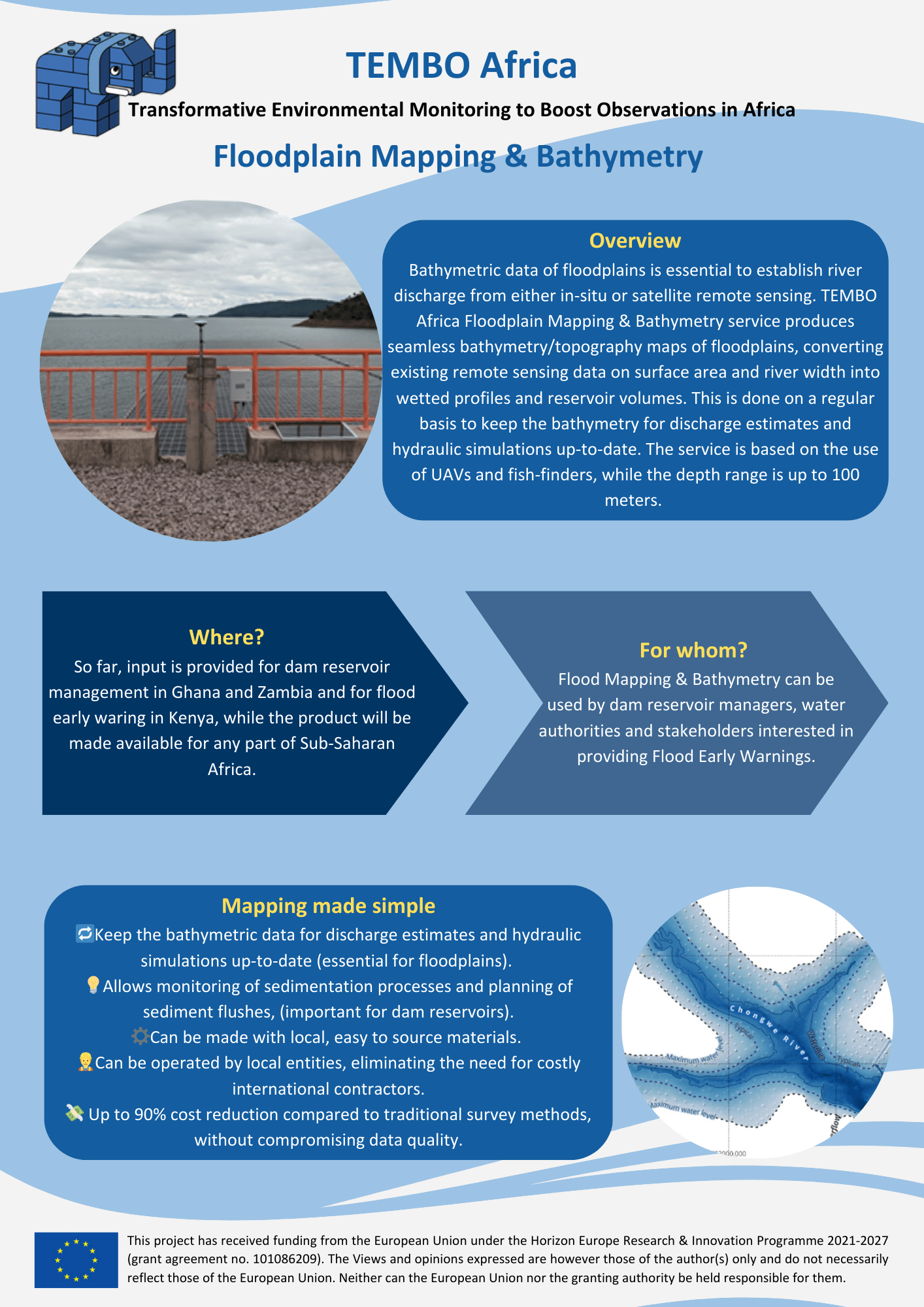
Bathymetric data of floodplains is essential to establish river
discharge from either in-situ or satellite remote sensing. TEMBO
Africa Floodplain Mapping & Bathymetry service produces
seamless bathymetry/topography maps of floodplains, converting
existing remote sensing data on surface area and river width into
wetted profiles and reservoir volumes. This is done on a regular
basis to keep the bathymetry for discharge estimates and
hydraulic simulations up-to-date. The service is based on the use
of UAVs and fish-finders, while the depth range is up to 100
meters.